Category Archives: Bing Map image available

EIRE38 – Dunmore Head – Sign on Great Blasket Island

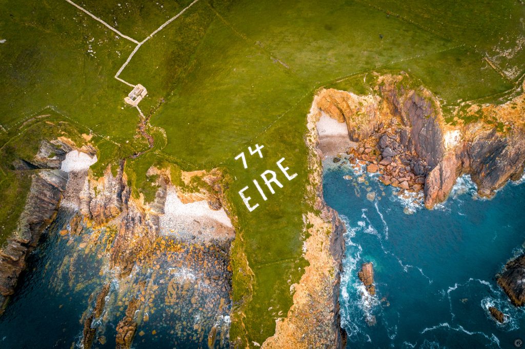
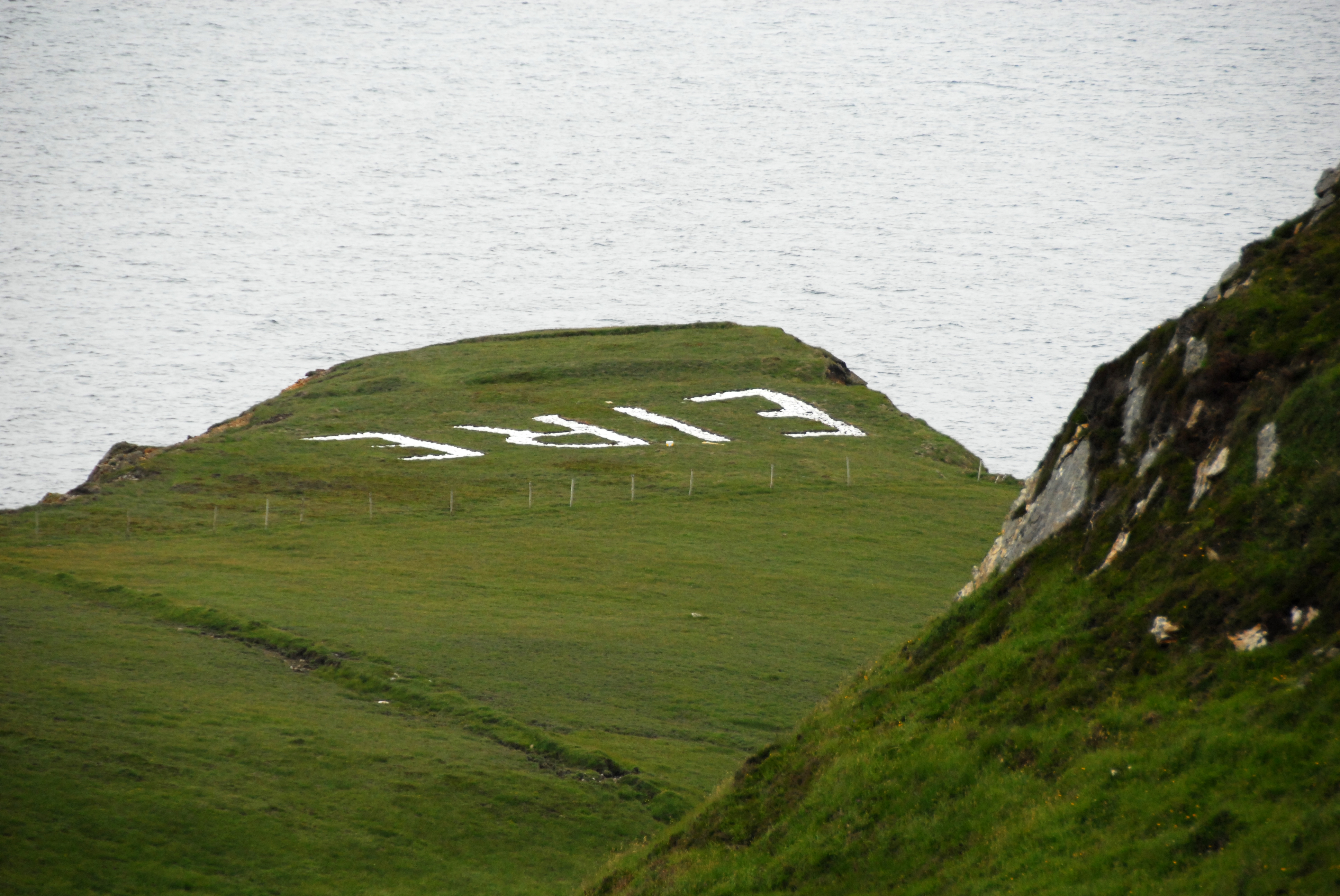
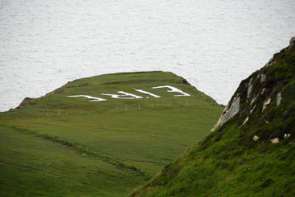
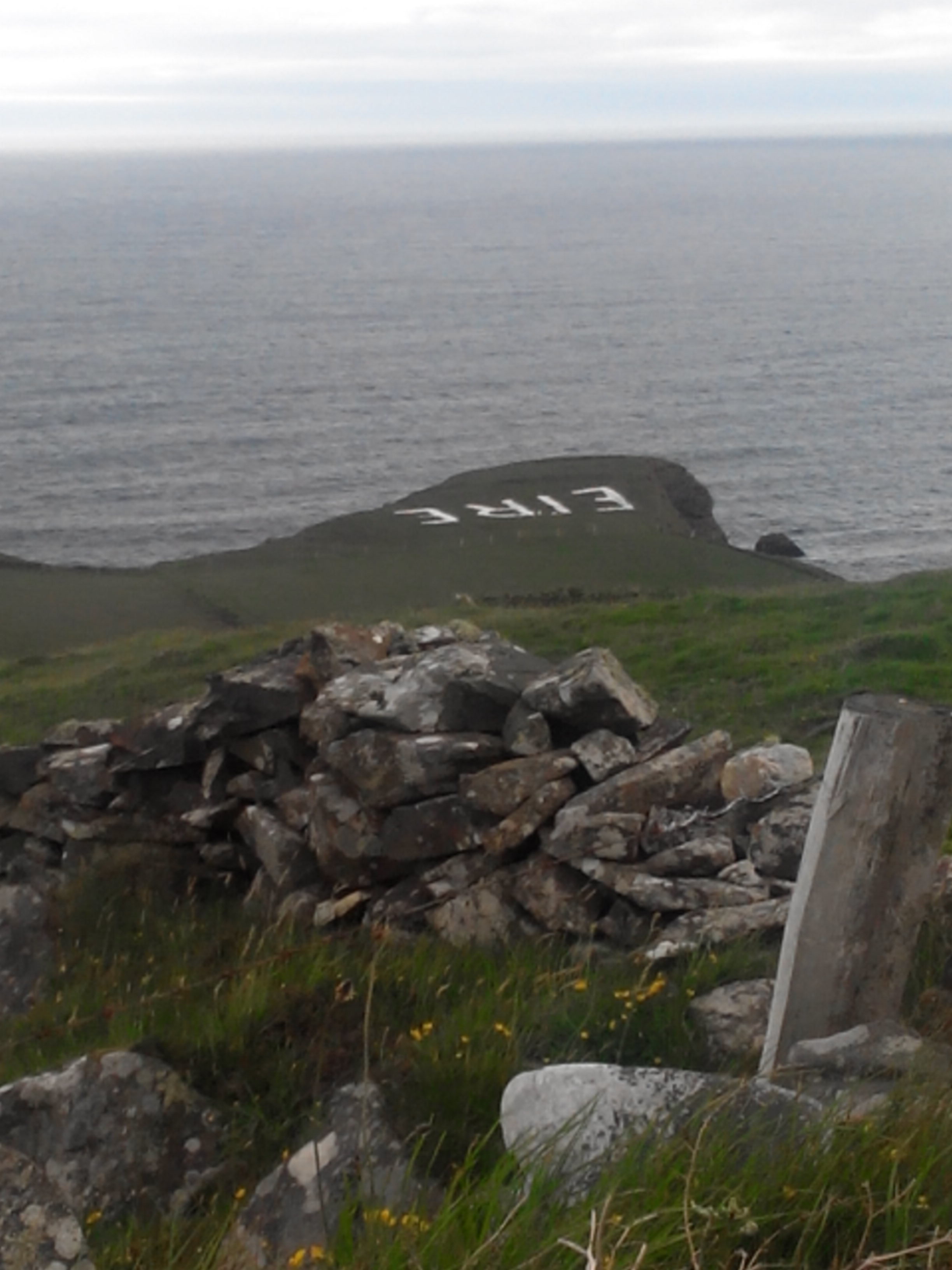
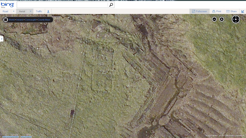
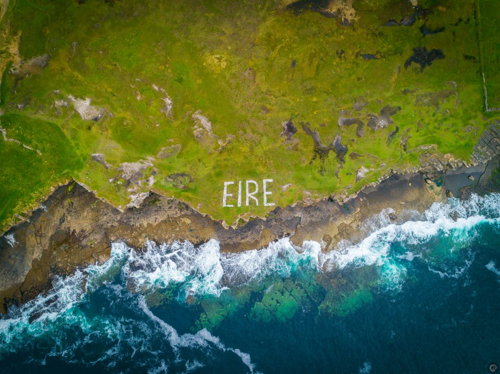
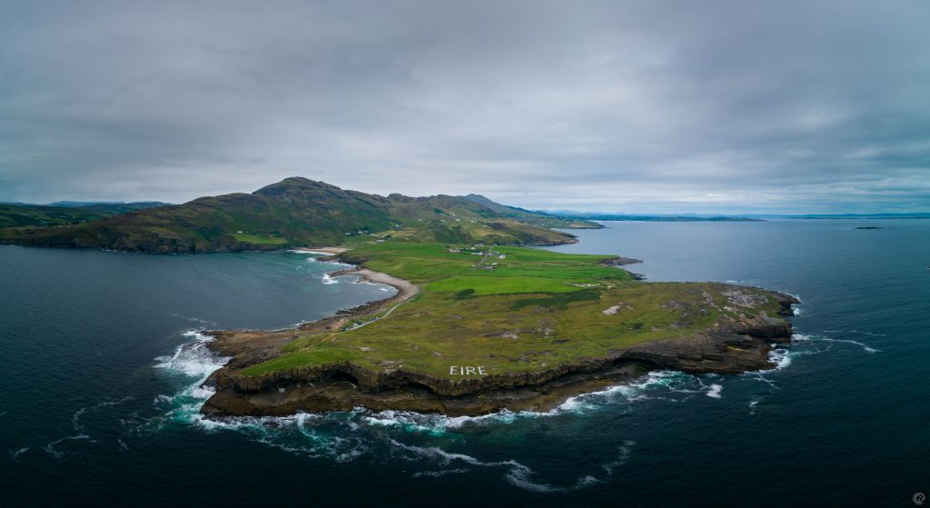
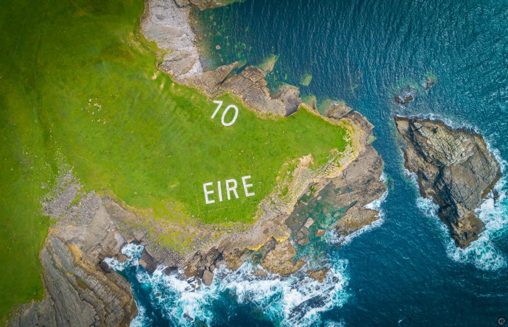
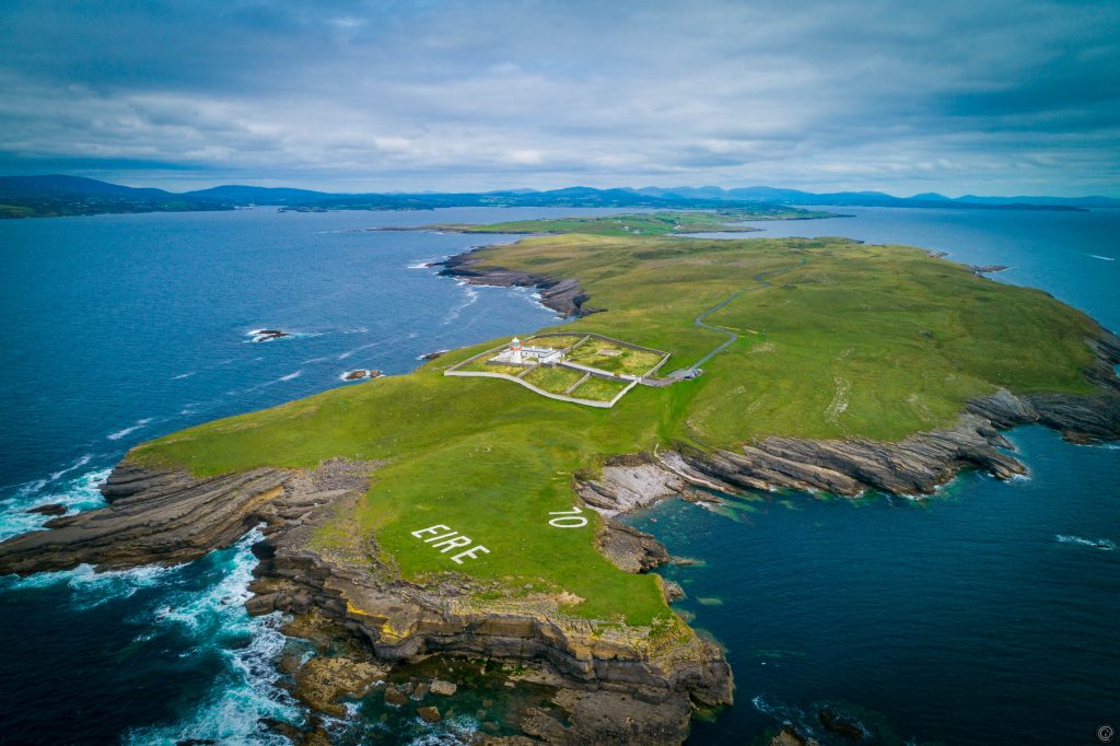
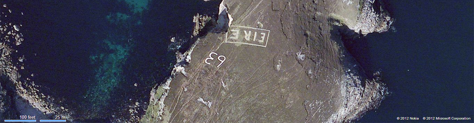
The nearest look out post to the Blasket Islands is Dunmore Head which is on the mainland. It was LOP number 38. There wasn’t a LOP on the Great Blasket that I was aware of and most signs were linked with the nearest LOP hence the classification. At the moment, it does not look to me as though the number is intact for this location so I cannot confirm absolutely.
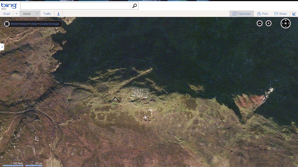
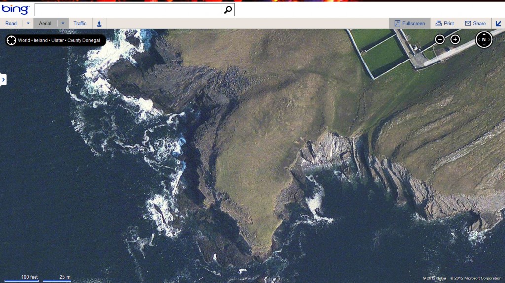
(Bing)

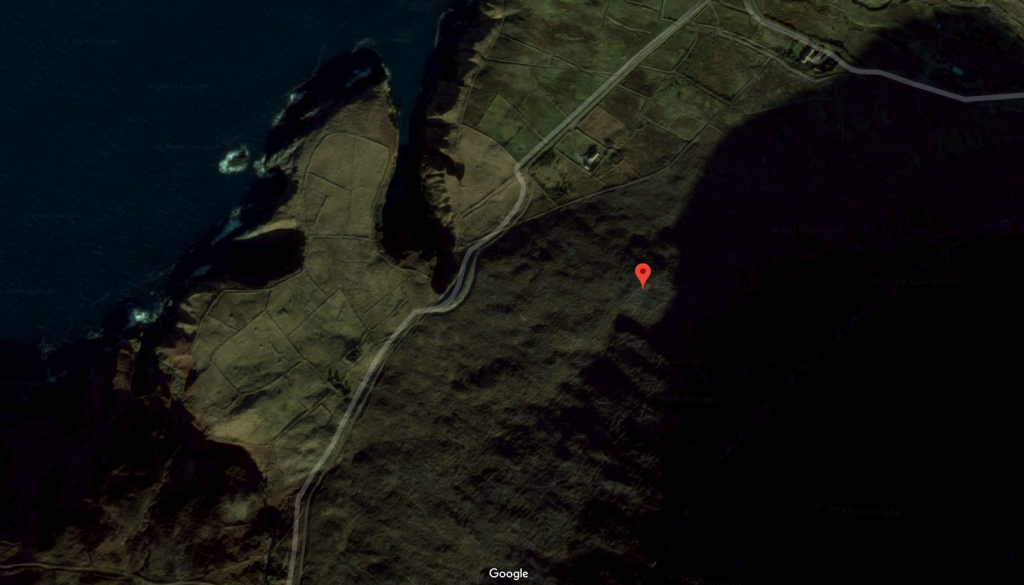
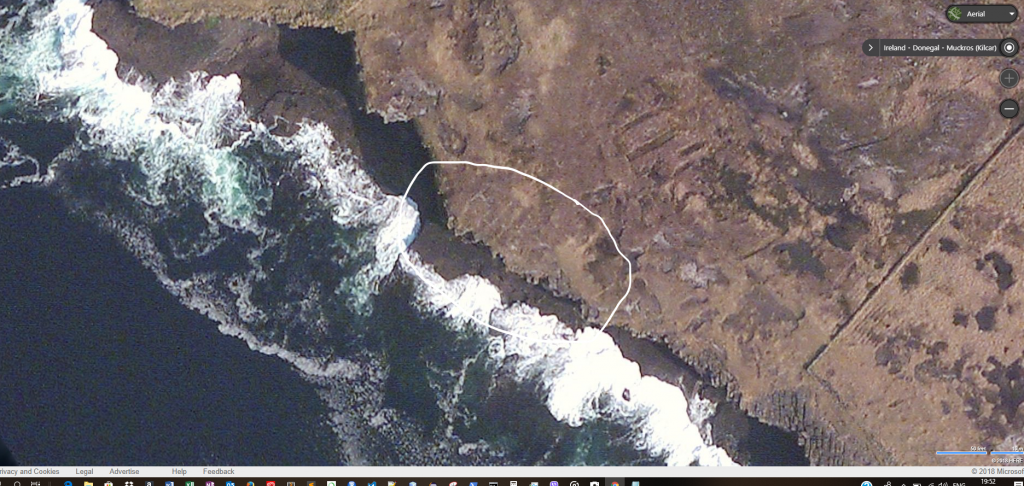
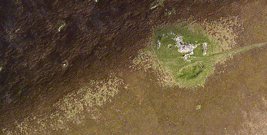
Location on Google is clouded over.

EIRE74 – Croghy Head

(Conor Corbett)

This sign has recently been restored and I do not have an aerial photograph of it yet. However, I have received a number of photographs of the restored sign, and the work in progress to restore it for which I am very grateful to the three photographers concerned whose names you’ll find under their photographs.

Donegal Crohy Head Eire marking 2

Photograph credit: Rob DIjksman

Donegal Crohy Head Eire marking 2_r

Photograph credit: Rob DIjksman

Croghy HeadThis sign has also been recently restored by a team including John Bonner.

Photograph Credit: Raymond Sweeney

Via Hugh Boyle I also have this photograph of the work under way:

Crohy 17-11-13


Photograph credit: Hugh Boyle


EIRE71 – Slieve League

Google Maps

Google Maps

Slieve League

Bing Maps

Two signs were built on Slieve League, of which all that remains is this part next to a carpark.

August 2018

Sign at Mucros in Donegal added as closest to LOP 71

(Bing Maps)

This sign is almost impossible to see on the aerial photographs but it has been renovated at some point.

(Conor Corbett)

(Conor Corbett)