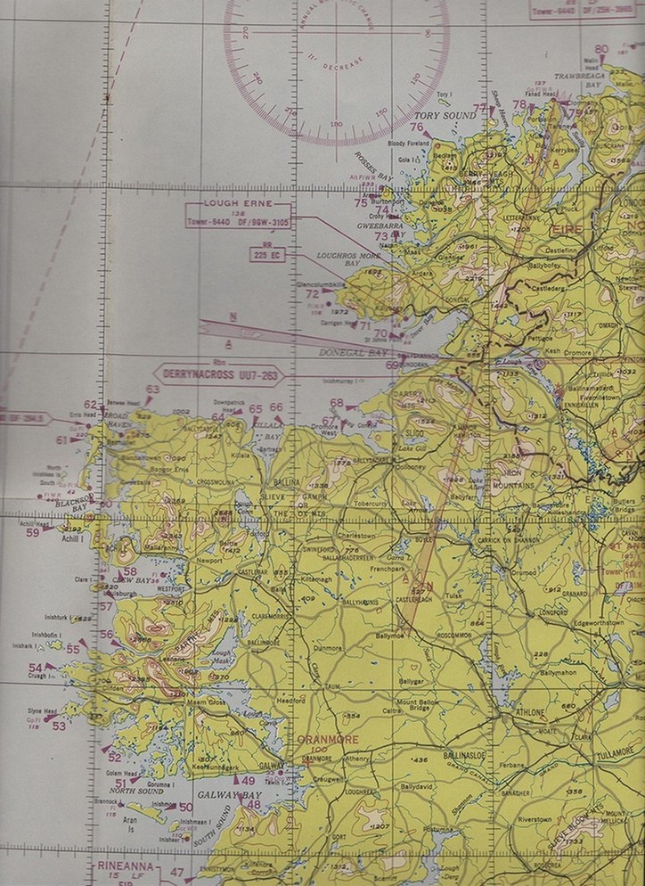
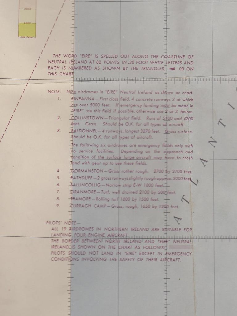
Via Clive Moore I have an extract of the navigation map used by pilots during the war on which the numbers are marked. 
I’d love to get a copy of this map for myself to frame – if anyone sees it in a military map sale, I’d be grateful to know.
This is also worth a look as it shows that the airfields here also had similar signs.
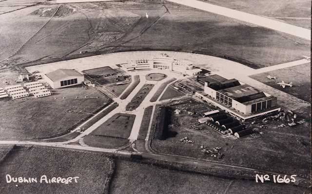
 As it happens I knew about the sign on the airfield in Collinstown as a picture of the airfield is hanging in Terminal 2 in Dublin Airport with the sign still painted on what I think is now Hangar 1 or Hangar 2. Dublin Airport have also had it on their Facebook website:


Is the rest of this map available ?
Hi Keith,
I don’t have it. The section above was sent to me by someone who bought it in a military auction. My guess is it occasionally turns up in map auctions. I am also going to see if a copy of it can be obtained from military archives in the US. I just haven’t had time to do so yet.
regards
Don’t believe this is any use to you, as it doesn’t mark the signs, but it is another USAAF map of England and a small part of Ireland that has the same message about the Eire signs printed on it. http://www.8thafhsoregon.com/archive/Oregon-Chapter/Lawrence-Fick/Pennine-Chain-AAF-Map-171-March-1944.jpg
This is very, very useful to me as it has the pointers for the east coast on it which I do not have. Thank you very much for this.
Here’s part of aaf 172 map: https://www.flickr.com/photos/usani4245/11644145505/in/photostream
This is fantastic Donal. I really need to see if I can get copies of those maps for myself.